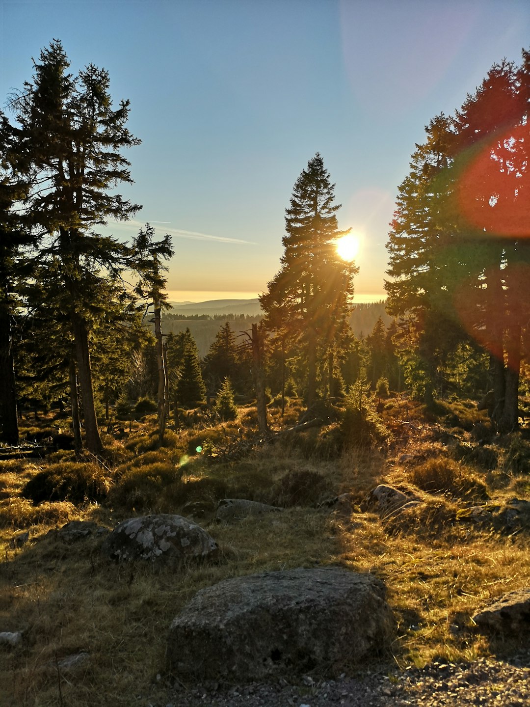
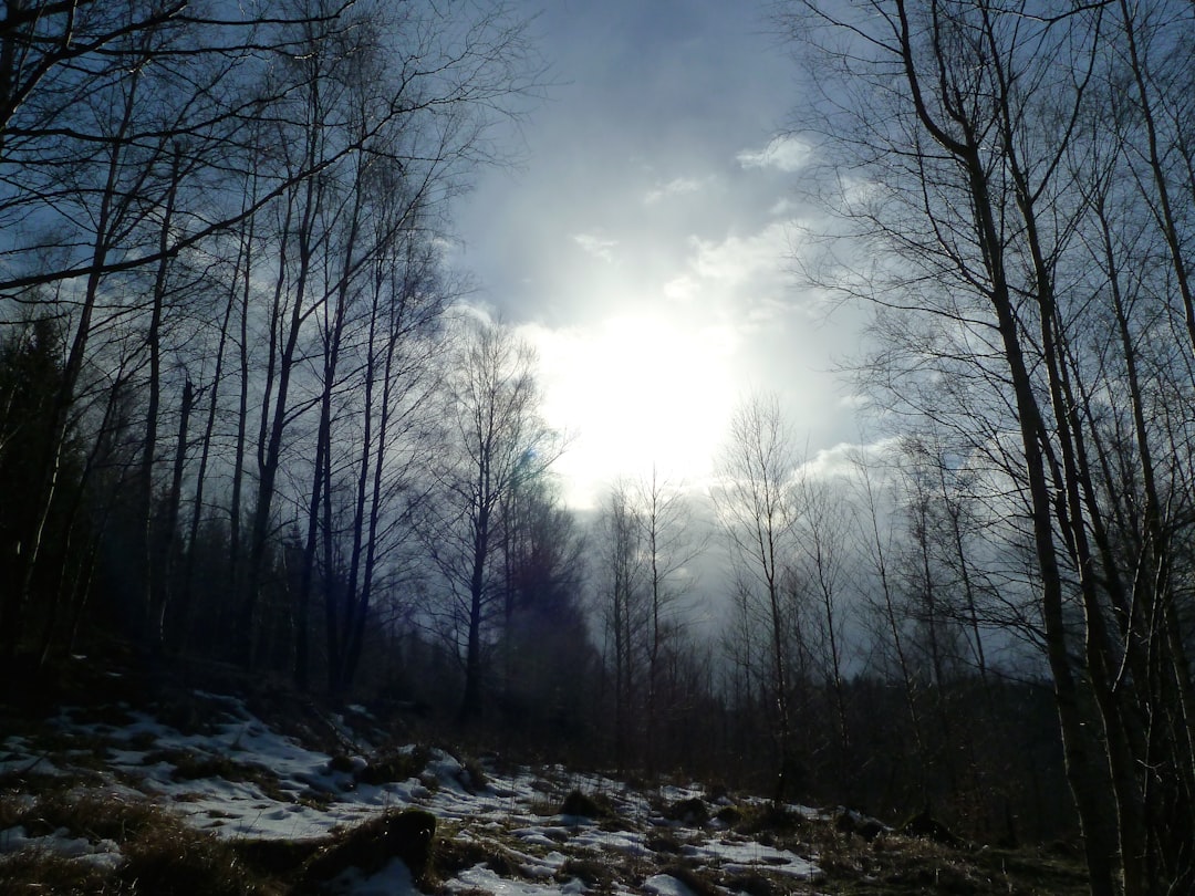
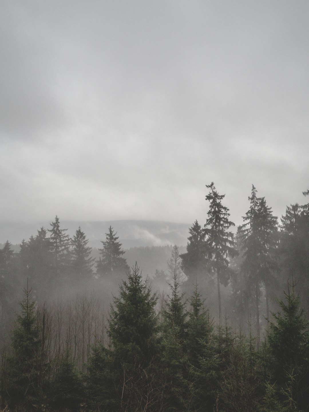
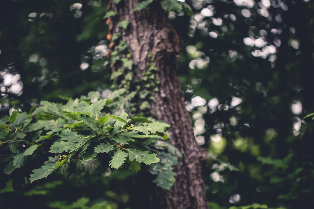
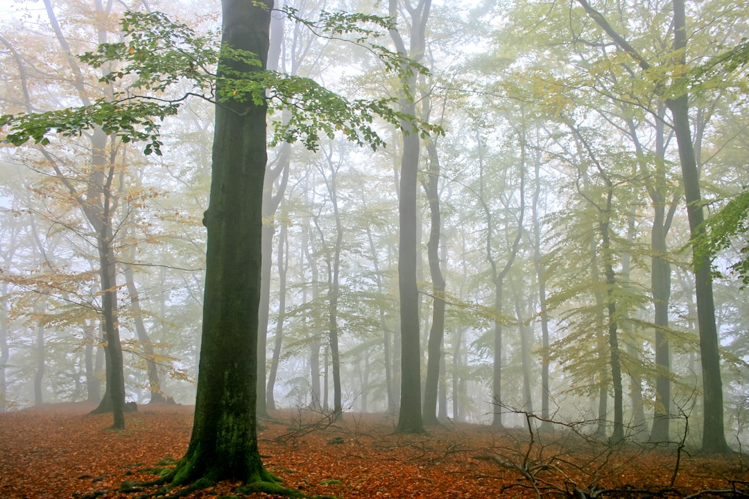
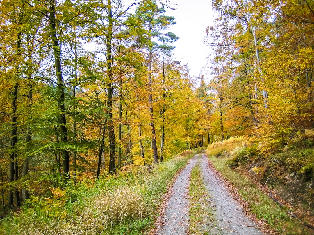
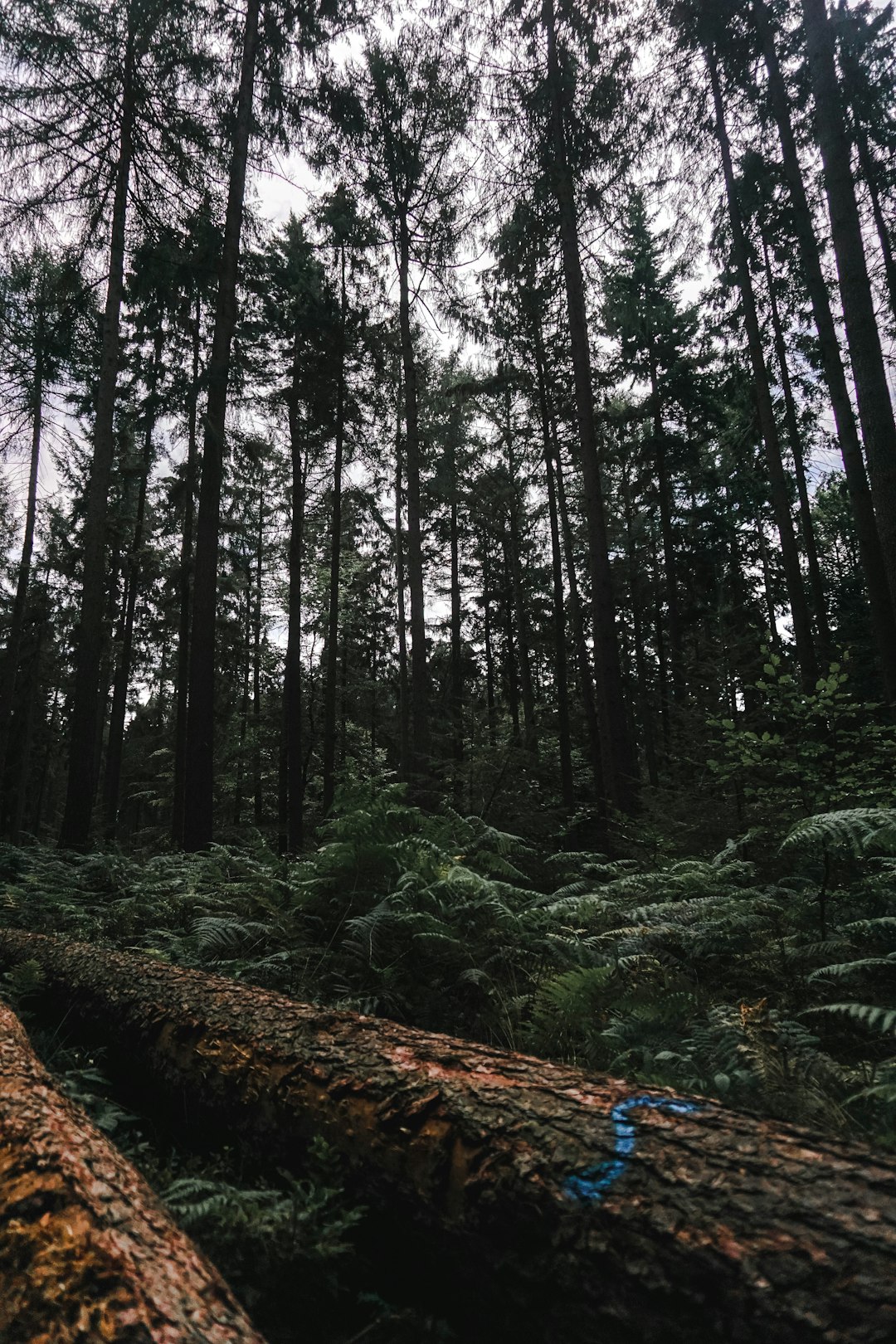
The Best Forest Photo Spots around Nationalpark Harz in Germany
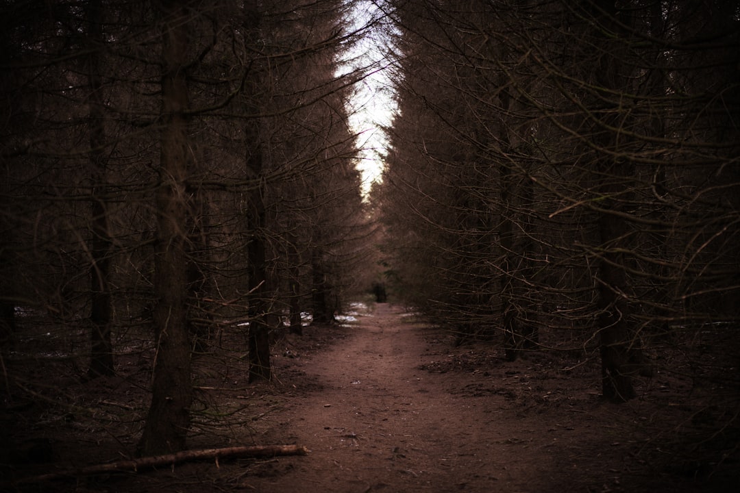
Explore Forest pictures of Nationalpark Harz with the travel spots on a map
Download the Travel Map of Germany on Google Maps here
11 Forest Spots of Nationalpark Harz on a Map
Pictures of Forest on the interacive map of Nationalpark Harz
Download On Google Maps 🗺️📲Forest Spots and Pictures around Nationalpark Harz
Discover popular destinations in Nationalpark Harz with their travel guides
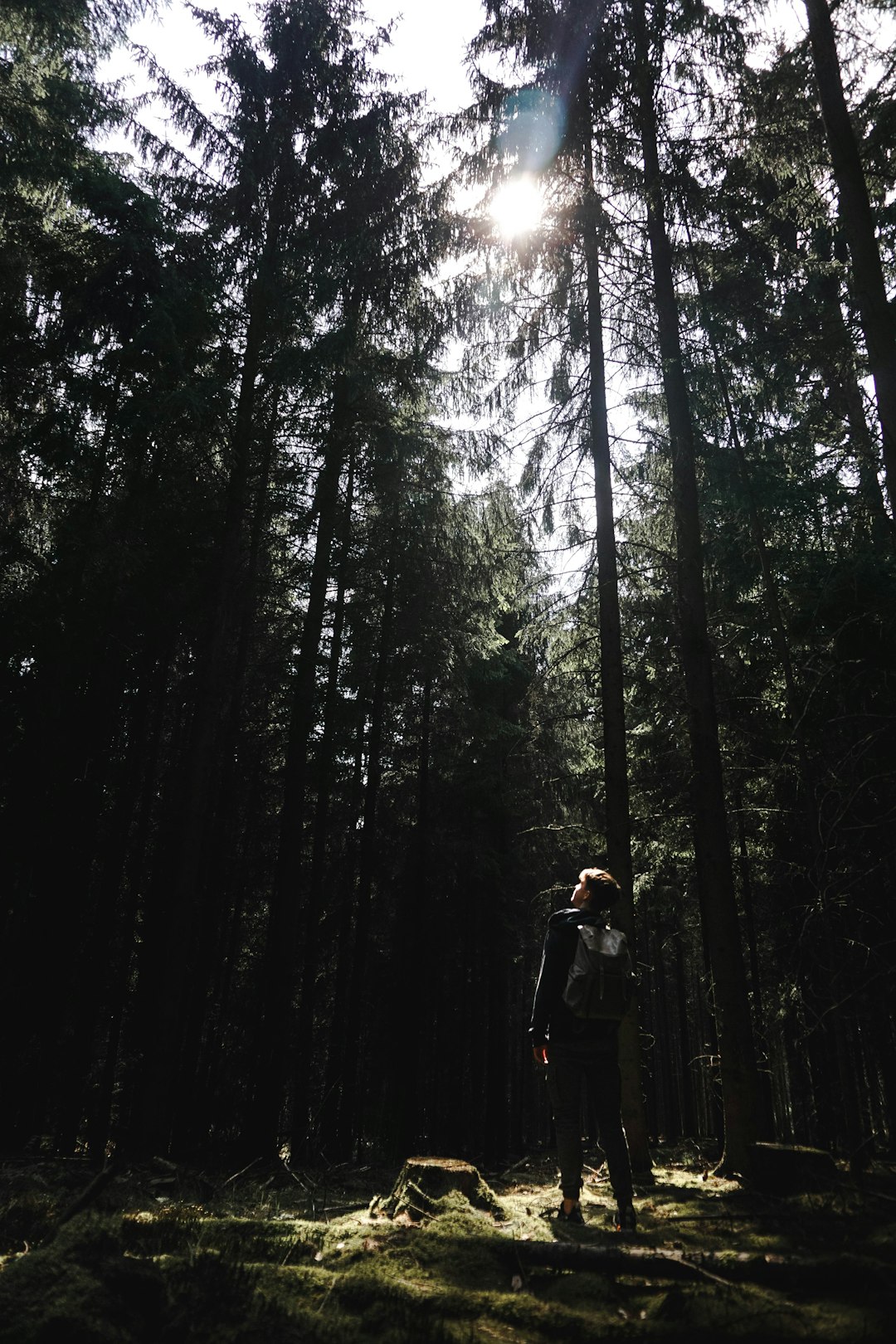
Nationalpark Harz
Read the Travel guide View on Google Maps
K1356
7 km away from Nationalpark Harz
Read the Travel guide View on Google Maps
Harz
12 km away from Nationalpark Harz
Read the Travel guide View on Google Maps
Lerbach
16 km away from Nationalpark Harz
Read the Travel guide View on Google Maps
Wernigerode
19 km away from Nationalpark Harz
Read the Travel guide View on Google Maps
Hexentanzplatz Thale
35 km away from Nationalpark Harz
Read the Travel guide View on Google Maps
K213
77 km away from Nationalpark Harz
Read the Travel guide View on Google Maps

Michelskopfsee
84 km away from Nationalpark Harz
Read the Travel guide View on Google Maps

Eschenstruth
85 km away from Nationalpark Harz
Read the Travel guide View on Google Maps
Hamelin
88 km away from Nationalpark Harz
Read the Travel guide View on Google Maps
Baunatal
97 km away from Nationalpark Harz
Read the Travel guide View on Google Maps

Book your Travel Experience in Nationalpark Harz
Discover the best tours and activities in Nationalpark Harz and book your travel experience today with our booking partners
Learn More about Nationalpark Harz
Find Hotels in Nationalpark Harz
Discover the best hotels around Nationalpark Harz, Germany and book your stay today with our booking partner booking.com